Courses

Training | Item Code : Geospatial Data in PostGIS
PostGIS is a spatial database that is more than just a spatial data store. With PostGIS, users, web map servers and other applications can all run off the same database. And beware! Doing spatial analysis in PostGIS can become addictive.
Training | Item Code : Introduction to QGIS Course
The training agenda is based mainly on the QGIS Training Manual with custom examples.

Training | Item Code : DOCKER101
Docker is a new way of deploying applications on the web. With docker you create re-usable application containers that can be combined together to create application stacks.
Training | Item Code : Introduction to Enterprise GIS with FOSS
Enterprise GIS (Geographic Information Systems) is all about doing GIS on a larger scale than just your PC with local files.
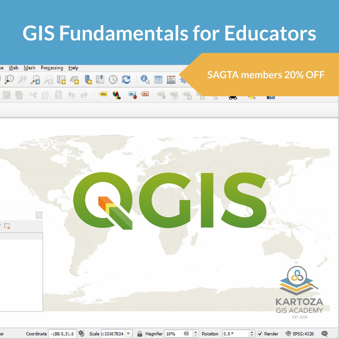
Training | Item Code : GIS Fundamentals for Educators
The course is developed and delivered by experienced teachers and GIS specialists. Includes tried and tested grade 8, 10, and 12 GIS lessons.

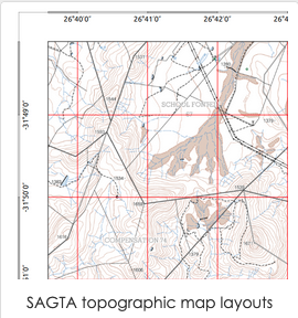
Training | Item Code : Advanced map skills and techniques
None
Training | Item Code : Contours, Landforms, Gradient and Cross-sections
None
Training | Item Code : Paper Based GIS for the classroom
None


