GGIS (Global Groundwater Information System)
The Global Groundwater Resources Assessment Centre commissioned Kartoza to upgrade the Global Groundwater Information System (GGIS) by developing custom Python and JavaScript where needed. Kartoza also provides support and maintenance as well as online training.
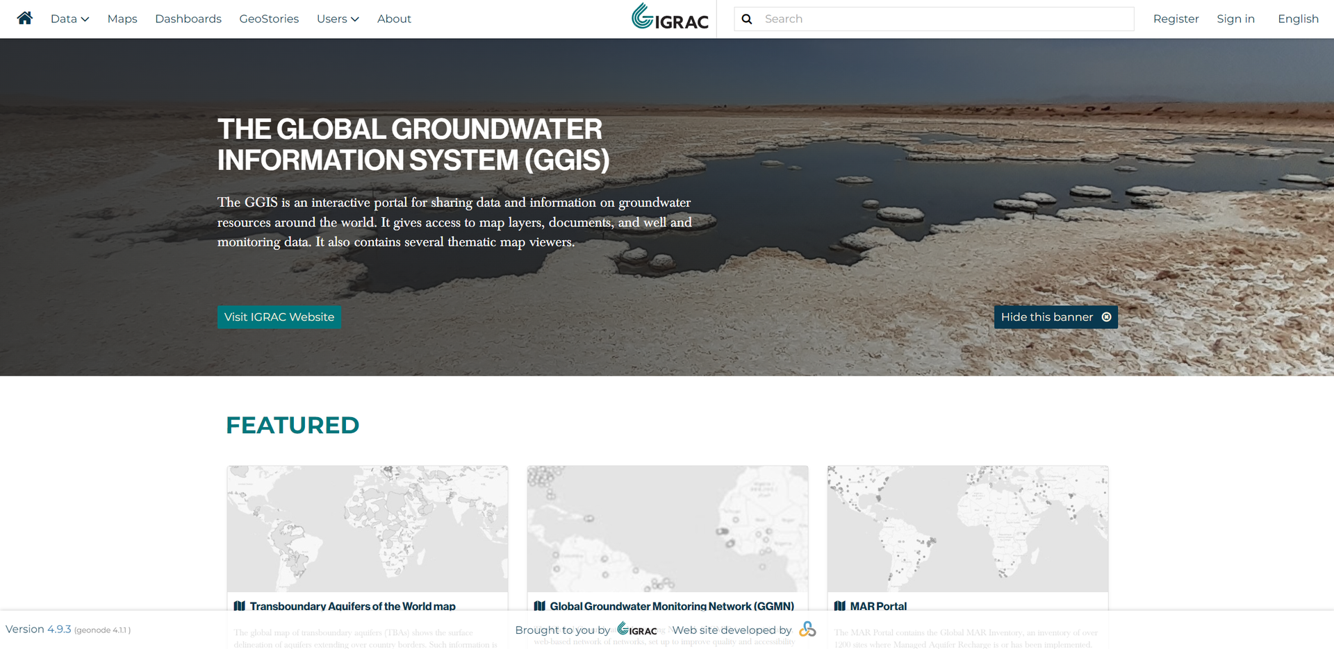
Description
IGRAC is the Global Groundwater Resources Assessment Centre. Its mission is to contribute to the production and the dissemination of groundwater data and information worldwide. To fulfil this role, they have supported the Global Groundwater Information System for over fifteen years. The GGIS is a web-based platform for sharing groundwater data and information, including maps, borehole and monitoring data, documents, etc. In 2020, they commissioned Kartoza to upgrade the GGIS, investing in tailor-made developments where necessary. Kartoza has been responsible for support and maintenance since the launch in 2021 and we also conducted online training.
Services Provided
- Development
- Training
- Support
- Maintenance
Completed: 2022-07-01


