DomiNode
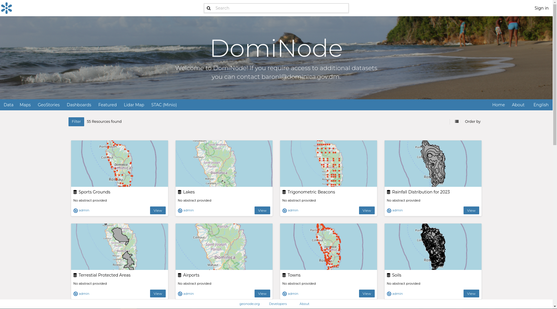
A consortium of Kartoza and Piensa revitalized a legacy vanilla GeoNode instance, which served as the foundation for Dominica's national Spatial Data Infrastructure (SDI), replacing it with a sophisticated platform that exceeds the capabilities of a traditional data portal.
Description
Kartoza and Piensa have revitalized a legacy vanilla GeoNode instance, which served as the foundation for Dominica's national Spatial Data Infrastructure (SDI), transforming it into a sophisticated platform that goes beyond a simple data portal. At its core, the platform utilizes PostgreSQL and a Minio (S3) file storage system, establishing itself as the central national database. QGIS serves as the primary user interface, while GeoServer, GeoNode, and other applications provide alternative views of the central database tailored to various user needs.
Now branded as DomiNode, this platform effectively stores, manages, discovers, and facilitates the consumption of all government spatial data and metadata in Dominica.
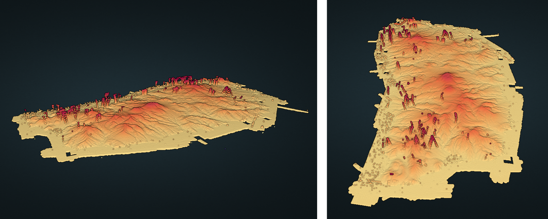
Lidar Map (Light Detection and Ranging Map) of Dominica, this map can be viewed on DomiNode platform.
Services Provided
- Consulting
- Development
- Training
Completed: 2024-06-30


