Online Operational Natural Disaster Risk Assessment Platform (OONDRA)
Kartoza established a curated online resource for hazard and exposure data for use in disaster scenario impact assessments
Description
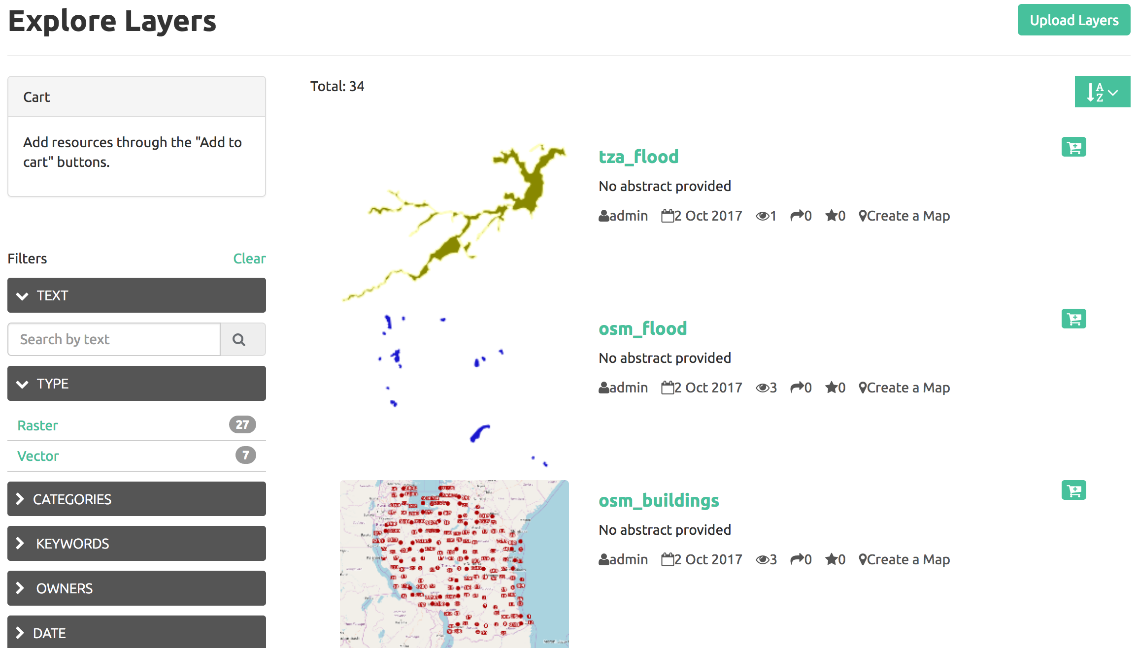
Kartoza established a curated online resource for hazard and exposure data for use in disaster scenario impact assessments. The data are stored and managed in GeoNode with a GeoServer backend. Layers have rich metadata including InaSAFE keywords. OpenStreetMap-based layers such as flood boundaries, buildings and roads are maintained in a live state via the Kartoza docker-osm service. As part of this project we also developed the MetaSearch tool in GeoSAFE that allows GeoSAFE users to browser and search remote metadata catalogs such as OONDRA.
Client
World Bank


